LUXEMBOURG

Cities in LUXEMBOURG
| Luxembourg city |
Geography and Landscape
Geography
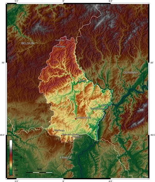
The Grand Duchy of Luxembourg is one of the smallest countries in Europe. With a surface area of 2,586 km². It lies enclosed between Belgium, France and Germany.

Landscape
The Grand Duchy roughly consists of two regions. The northern part is called Ösling and belongs to the Ardennes. It is a wooded plateau landscape with some deeply carved river valleys and rocky soil.
The central and southern part of the country is called Gutland or Bon Pays which means "good land". This area has an undulating landscape and the soil is loam and marl, which makes it ideal for farming. The north has an average altitude of 400 to 500 metres with the highest hills being Kneiff (560 metres) and Burgplaatz (559 metres). The middle and south is also a plateau, but with an average height of about 270 metres.
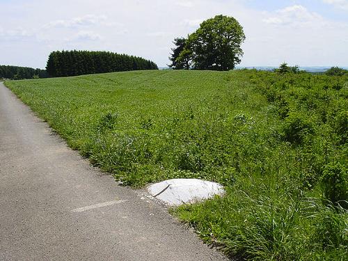
 The top of the Kneiff, Luxembourg's highest hillPhoto: Cornischong from LB CC 3.0 Unported no changes made
Sources
Encarta Encycloppedie
Europese Unie
Europees Platform voor het Nederlandse Onderwijs
Fonteyn, G. / Ardennen, Luxemburg
ANWB Media,
Grote Lekturama Wereldatlas, Europa
Lekturama
Smets, P. / Het Groothertogdom Luxemburg
Lannoo
Stoks, F. / Ardennen, Luxemburg
Gottmer
Vermeulen, J.J. / Het Groothertogdom Luxemburg
Lekturama
CIA - World Factbook
BBC - Country Profiles
Copyright: Team The World of Info