UNITED KINGDOM

Popular destinations UNITED KINGDOM
| England | Northern ireland | Scotland |
| Wales |
Geography and Landscape
The United Kingdom of Great Britain and Northern Ireland is made up of four countries; England, Wales, Scotland and Northern Ireland. TheWorldOfInfo has chosen to deal with each individual country.
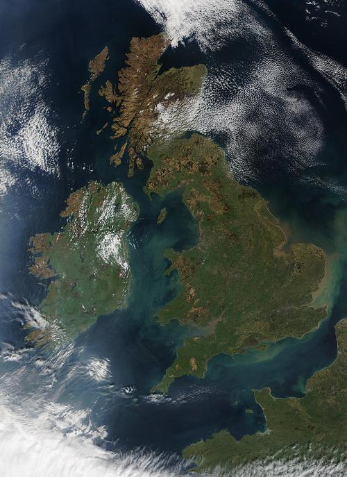 United Kingdom Satellite photoPhoto: Public Domain
Great Britain and Northern Ireland or the United Kingdom of Great Britain and Northern Ireland (officially: United Kingdom of Great Britain and Northern Ireland; abbreviation: UK), is formed by an island group in northwestern Europe.
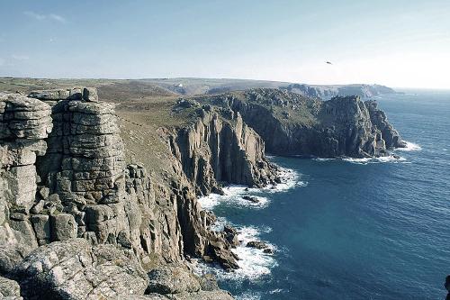 Lands End Cornwall EngelandPhoto: Kevin Law CC 2.0 Unported no changes made
The United Kingdom includes the former kingdoms of England and Scotland and the former Principality of Wales, all located on the island of Great Britain. Northern Ireland therefore also belongs to the United Kingdom, but is located on the island of Ireland. There are also a number of well-known and lesser known islands (groups) including: the Orkney Islands and the Shetland Islands in the north, the Hebrides in the west, Anglesey and Man in the Irish Sea, Wight and the Channel Islands in the Channel. Read more about the geography of England
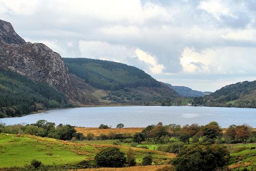 Snodonia National Park WalesPhoto:Tim Felce CC 2.0 Generic no changes made
Wales (Welsh: Cymru, Land of brotherhood) is the westernmost part of the island of Great Britain. Formerly a principality, Wales is part of the United Kingdom of Great Britain (Wales, England and Scotland) and Northern Ireland. Read more about the geography of Wales
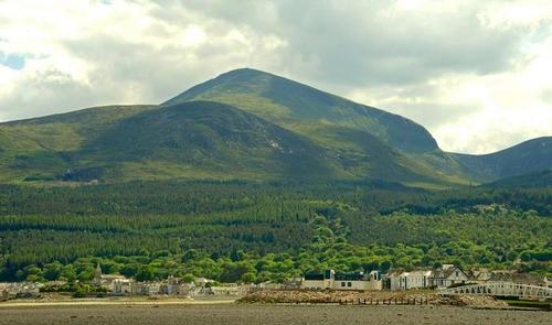 Slieve Donard, Northern Ireland's highest mountainPhoto:Albert Bridge CC 2.0 Genericno changes made
Northern Ireland is bordered to the south and west by Ireland and further to the Atlantic Ocean and to the Irish Sea, Donegal Bay and the North Channel. Western Scotland is at the nearest point just 21 km from Northern Ireland. The coastline is approximately 362 km long and runs from Lough (Lake) Foyle in the northwest to the Morne Mountains in the southeast. Read more about the geography of Northern Ireland
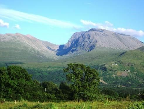 Ben Nevis, highest mountain in Scotland and Great BritainPhoto: Thincat in the public domain
Scotland (English: Scotland; German: Schottland; French: L'Écosse) is the northern part of the island of Great Britain, located in northwestern Europe. The total land area of Scotland, including the many islands, is 77,213 km2 (including inland waterways 78,764 km2). The mainland measures a maximum of 440 km from north to south and 248 km from east to west. Read more about the geography of Scotland
Sources
TheWorldOfInfo.com/northern-ireland
CIA - World Factbook
BBC - Country Profiles
Last updated January 2026Copyright: Team The World of Info