PARAGUAY

Geography and Landscape
Geography
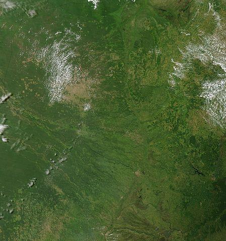
Paraguay (officially: República del Paraguay) is a republic in South America with an area of 406,752 km2. This makes Paraguay one of the smallest South American states. Paraguay is bordered to the north and east by Bolivia (750 km) and Brazil (1290 km) and to the south and west by Argentina (1880 km). Paraguay, together with Argentina and Uruguay, is counted as one of the La Plata countries because it lies in the basin of the rivers that flow into the La Plata. The country is divided by the Rio Paraguay into an eastern (159,827 km2) and western part (246,925 km2).

Landscape
Paraguay belongs for the most part to the Paraná-Paraguay lowlands, a so-called table landscape of 300-600 metres altitude. The Paraná River flows through this plateau, carving out a deep gorge-shaped valley. This plateau is bordered by a steep or cuesta edge. To the west of this steep ridge lies a gently rolling hilly country. Eastern Paraguay further consists of flat lowlands that flood regularly. Where the Paraná and Río Paraguay rivers meet, these lowlands become very extensive.
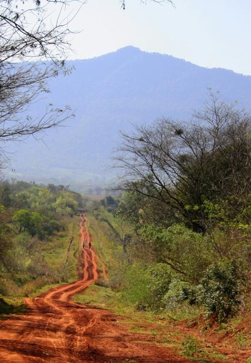
The highest parts of the country are in the east. The mountain ranges Cordillera de Amambay and Cordillera de Mbacarayú form the border with Brazil for about 320 km. South of this is the Cordillera de Caaguazú with an average altitude of only 400 metres. The highest peaks in Paraguay are Cerro Peró or Cerro Tres Kandú (842 metres) in the hilly landscape of Ybytyruzú, Cerro de Acatí (720 metres) and Cerro Ponta Porá (700 metres). The other ridges in eastern Paraguay do not rise above 200-350 metres.
 Cerro Peró, highest mountain of ParaguayPhoto: Felipe Méndez CC BY-SA 3.0 no changes made
The rest of Paraguay consists entirely of hilly country, less than 200 metres high or even flat. The flat areas in Paraguay cover more than two-thirds of the country. The lowest point in Paraguay is at the intersection of the Río Paraguay and Río Paraná rivers at 46 metres. West of the Río Paraguay lies the arid Gran Chaco. The main river is the Río Paraguay, which cuts through the country from north to south and gives the country its name.
From the west, the Río Pilcomayo comes off the Andean chain; it forms the border with Argentina. Lake Ypoá is the only significant lake.
Deforestation has hit hard, as in almost all South American countries. Between 1958 and 1985, about 2 million hectares of forest and virgin forest were cut down.
Sources
Bernhardson, W. / Argentina, Uruguay & Paraguay
Lonely Planet
Kleinpenning, J. / Paraguay
Koninklijk Instituut voor de Tropen
CIA - World Factbook
BBC - Country Profiles
Copyright: Team The World of Info