ZANZIBAR
Geography and Landscape

Geography and Landscape
| Basic information | |
| Official language | English |
| Capital | Zanzibar City |
| Area | 1.651 km² |
| Population | ca. 1,717,600 (2021) |
| Currency | Tanzanian shilling (TZS) |
| Web | .tz |
| Code. | TZA |
| Tel. | 255+54 |

Popular destinations TANZANIA
| Pemba | Zanzibar |
Geography and Landscape
Geography
The Zanzibar Archipelago (Arabic: Zinj el-Barr = land of the blacks) is now a province of Tanzania and consists of three main islands, Unguja or Zanzibar Island, Pemba and Mafia, and a large number of smaller islands. Unguja lies about 35 km off the coast of mainland Tanzania, Pemba lies about 40 km northeast of Unguja. The Zanzibar archipelago is separated from the mainland by the Zanzibar Channel.
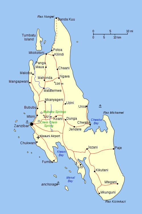
 Zanzibar Topographical MapPhoto: Public domain
Unguja* is up to 100 km long and 35 km wide and has a total area of about 1650 km2; Pemba is up to 70 km long and 23 km wide. Some of the other islands are no bigger than a coral rock.
* When Zanzibar is mentioned further in the text, it refers to the main island of Unguja.
Landscape
Zanzibar is generally quite flat, with more hills in the west and centre of the island; the highest point is 120 metres.
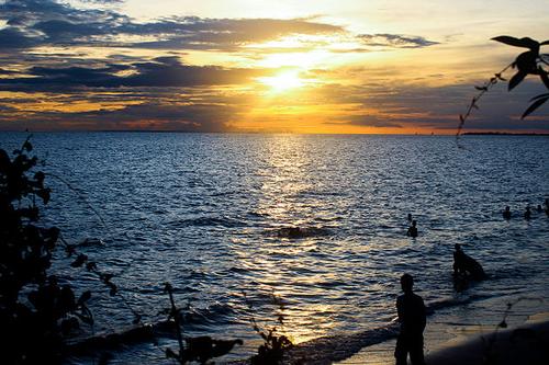
 Sunset ZanzibarPhoto: Rasheedhamis CC 4.0 Internation no changes made
Sources
Else, D. / Zanzibar
Bradt
Finke, J. / Tanzania
Rough Guides
Fitzpatrick, M. / Tanzania
Lonely Planet
Heale, J. / Tanzania
Marshall Cavendish
Skinner, A. / Tanzania & Zanzibar
Cadogan
CIA - World Factbook
BBC - Country Profiles
Copyright: Team The World of Info