LIBERIA

Geography and Landscape
Geography
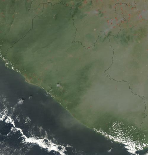
Liberia is located in West Africa. Liberia borders the Atlantic Ocean and lies between the Ivory Coast and Sierra Leone. Liberia also borders on Guinea. The surface area of Liberia is 111,370 square kilometres.

Landscape
Liberia has a coastline of 560 km along the Atlantic Ocean. The coastal plain of Liberia is fairly flat and regular. Near the border with Guinea, there are mountains with peaks between 1300 and 1700 metres.
This highland passes into Guinea through the Nimba Mountains. The highest point is Mount Wuteve at 1380 m. Liberia consists of 44% large rainforests. Liberia has 15 major rivers flowing from the southwest. These rivers have many rapids and shallows, making them unnavigable.
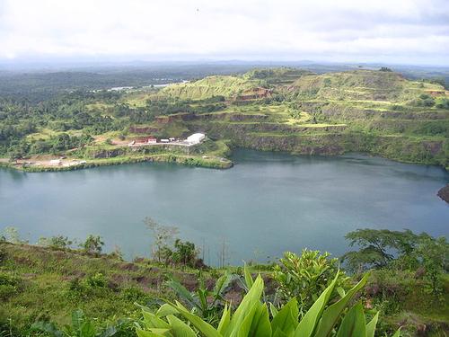
 Lake Bomi in LiberiaPhoto: Sahmeditor in the public domeain
Climate and Weather
Liberia has a tropical rainforest climate. The average annual temperature across the country is around 27ºC. Inland, temperatures fluctuate more and precipitation decreases somewhat. In the months of February and March, the average temperature is around 30ºC and in the months of August and September it is around 18ºC. The average annual rainfall is 5000 mm. The months of May to October receive the most rainfall, while temperatures in these months can be lower than in the other months.
Plants and Animals
Plants
In the coastal region of Liberia, there are grass savannahs. The interior consists largely of tropical rainforests. The hardwoods mahogany and rosewood grow here. In Liberia there are also banana, mangrove, oil palm, rice and rubber plants.
Animals
Liberia is also home to several rare animal species, including zebra divers, pygmy hippos and several prosimians such as pottos. Elephants and chimpanzees also live there. The rare dwarf buffalo graze in Liberia's nature reserves.
Sources
Elmar Landeninformatie
CIA - World Factbook
BBC - Country Profiles
Copyright: Team The World of Info