BURKINA FASO

Geography and Landscape
Geography
Burkina Faso is located in West Africa. Burkina Faso is located partly in the Sahel strip south of the Sahara desert, under Mali. Niger is located east of Burkina Faso, and Benin, Togo, Ghana and Ivory Coast to the south.
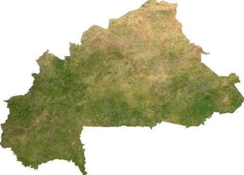
The area of Burkina Faso is 274,122 square kilometers.
Landscape
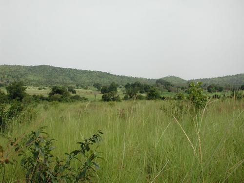 Burkina Faso LandscapePhoto: Stefan Dressler CC 2.5 Generic no changes made
The former Upper Volta lies partly in the Sahel strip south of the Sahara desert. The Sahel is characterized by steppe and savanna vegetation in the wet period and half desert in the dry period. The Sahel is known for its problematic drought. After a long drought in the late 1960s and early 1970s, overgrazing, forest clearing, erosion and salinization made the Sahel less and less suitable for habitation. The Sahara continues to expand in a southerly direction.
The country consists of low-lying plateaus, consisting alternately of rocky and sandy soils. To the west, the plateaus are between 500 and 550 meters high and the highest peak in the fairly flat country is Ténakourou, with a height of 749 meters above sea level. In the rest of the country, the average height is 250 to 350 meters. The plains are intersected by a number of rivers, most of which are part of the Volta river system.
The largest of these are the White Volta, the Black Volta and the Red Volta.
Climate and Weather
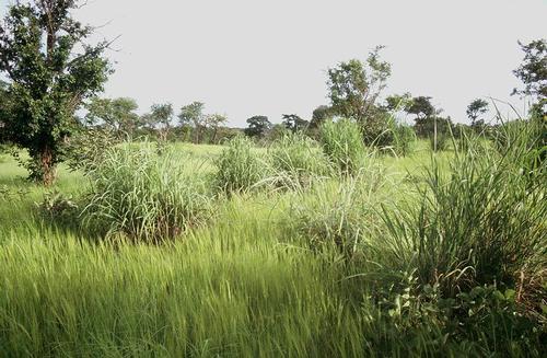 Burkina Faso Savanna climatePhoto: Marco Schmidt CC 2.5 Generic no changes made
Burkina Faso has a tropical climate. The far north has a desert climate with less than 500 mm. rainfall per year. The center of the country has a steppe climate, the south a savanna climate. To the south, the average amount of precipitation increases to about 1200 mm in the southwest. The average annual temperature is 29 degrees Celsius. The rainy season is from June to October. But the amount that falls out of this is relative. Burkina Faso is a dry country. The dry season is from November to May. Especially when the Harmattan, a dry desert wind, blows between December and February. The best time to travel to Burkina Faso is from December to February, when the heat is a bit more bearable.
Plants and Animals
Plants
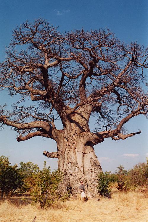 Monkey bread tree (Baobab) Burkina FasoPhoto: Quinn Norton CC 2.0 Generic no changes made
The steppe in the north does not have lush vegetation. A few thorny trees grow here and there in the steppe grass. The far north has no vegetation at all and consists of sand dunes. The east and south have some forest. Common species include: acacia, monkey bread, butter tree, euphorbia and tamarind. In the more humid south, besides trees, there are also sugar cane fields.
Animals
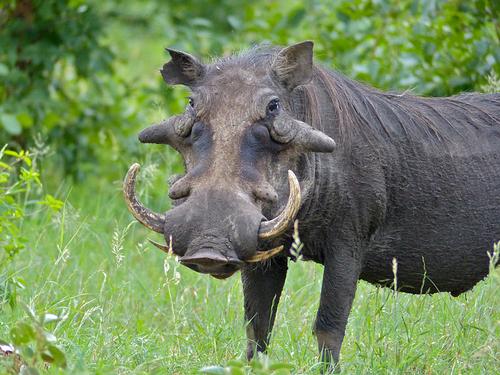
Warthog Burkina FasoPhoto: Bernard DUPONT CC 2.0 Generic no changes made
In Burkina Faso there are some protected nature reserves. These parks are home to all kinds of monkeys, as well as buffaloes, gazelles, lions and warthogs. Burkina Faso also has the largest elephant population in West Africa. Crocodiles and hippos are found in the southeast.
Sources
Elmar Landeninformatie
CIA - World Factbook
BBC - Country Profiles
Copyright: Team The World of Info