TOGO

Geography and Landscape
Geography
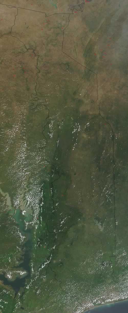
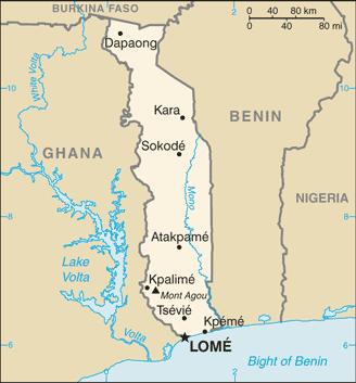
Togo is located in West Africa on the Gulf of Guinea between the neighbouring countries of Burkina Faso to the north, Benin to the east and Ghana to the west. The surface area of Togo is 56,785 square kilometres.

Landscape
The country is mainly occupied by the Togo Mountains (highest at 1098 m), which to the south give way to a crystalline plateau averaging 400 m in height. The main river is the Mono.
 Map of Togo with course of Mono RiverPhoto: CIA in the public domain
Climate and Weather
Togo has a tropical climate with a rainy season in the north that runs from March to October. In the south there are two rainy seasons. The first runs from March to July and the second from September to November. Precipitation never falls below 1000 mm per year. The temperature varies between 22 and 34 degrees Celsius. From July to September, the south-west monsoon winds blow on the coast. In December and January, the Harmattan winds blow in the north.
Plants and Animals
Plants
Togo consists mainly of savannahs that in many places change into light forest. In the north there are steppes. Along the rivers there are gallery forests and in the mountains rainforest. In Togo we find the baobab, banana, ficus, kapok tree, lontar palm and oil palm.
Animals
The animal world reflaxts the West African rainforest and the neighbouring savannah types and includes numerous different species of monkeys, hyena, lion, panther, elephant, hippopotamus, buffalo and many antelopes, including the rare bongo. The rare giant hog is also found in Togo. The bird world is particularly rich; there are large numbers of storks, cranes and marabous. The lion is the national animal of Togo.
Sources
Elmar Landeninformatie
CIA - World Factbook
BBC - Country Profiles
Copyright: Team The World of Info