NORTH KOREA

Geography and Landscape
Geography
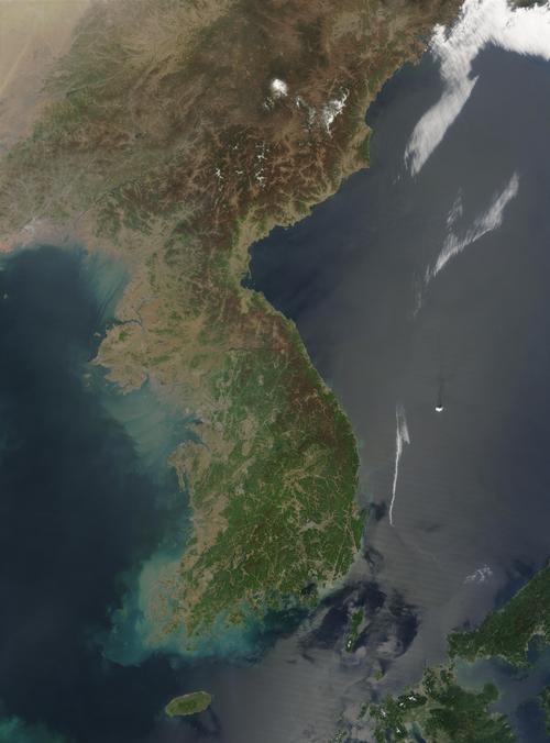
North Korea is located in East Asia and occupies the northern part of the Korean peninsula between the Bay of Korea and the China Sea. North Korea borders China, South Korea and Russia. The surface area of North Korea is 120,540 square kilometres.

Landscape
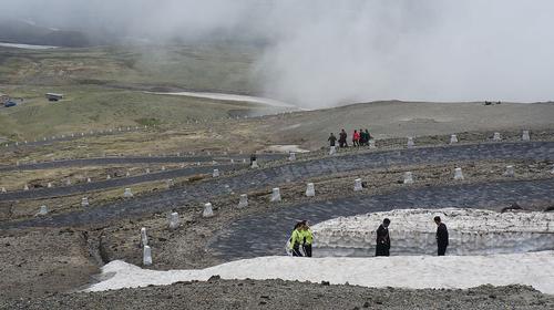
The landscape is strongly mountainous, with high peaks and narrow, deep valleys. The most prominent mountain range is Nangnim-Sanmaek in the north-central region. Mount Paekdusan, on the border with China, is the highest mountain (2744 metres). Fertile lowlands are mainly found on the west coast and along some broad rivers. These often start in the mountains on the east coast and flow into the Yellow Sea. The Yalu (or Amnok) is the longest river and forms part of the border with China.
 Paekdusan, on the border of Chian and North KoreaPhoto: Uri Tours (www.uritours.com) CC 2.0 Generic no changes made
Climate and Weather
North Korea has a continental climate with hot summers and cold winters. Especially in the north, the winters are very severe. Most of the rain falls in the summer months. In the months of April/May and October it is dry and temperatures are pleasant.
Plants and Animals
Plants
Some mountain slopes are still covered with extensive coniferous forests (pine, spruce, larch and pine) but most of the forest has been cut down, especially in the lowlands.
Animals
Large mammals, including bears, wolves, leopards and tigers, have become extremely rare and sometimes almost disappeared.
Sources
Elmar Landeninformatie
CIA - World Factbook
BBC - Country Profiles
Copyright: Team The World of Info